
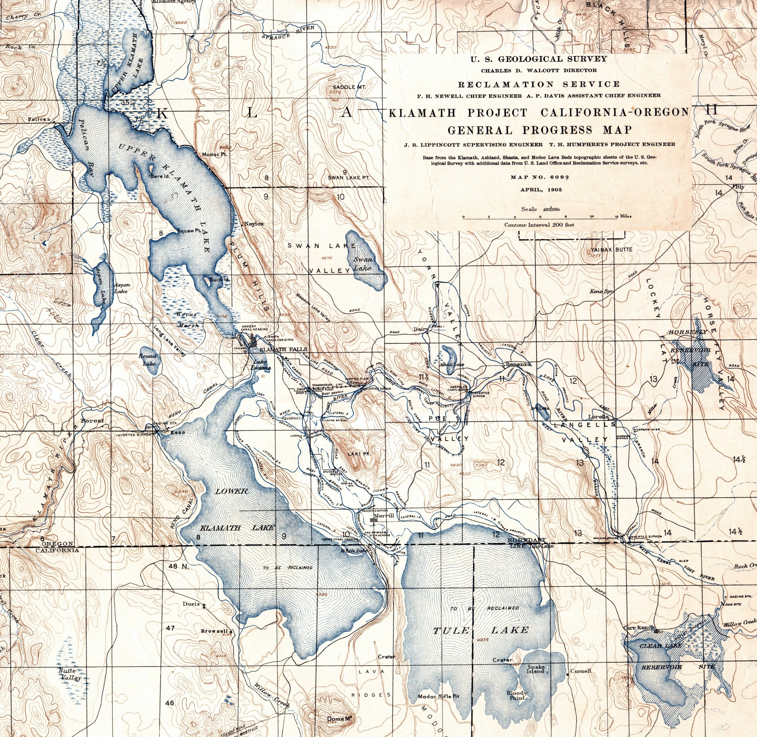
Pre-Project Klamath Lakes
How Upper and Lower Klamath Lakes would have behaved day by day from 1962 to 2026 without the federal Klamath Reclamation Project, using the adopted model. This is a what-if, not a forecast.
Open the animation → Opens in a new tab.
How to use it
- Press Dry year, Median or Wet year to load one water year. A water year runs from 1 October to 30 September.
- Press Play. The lakes move day by day. Press Pause to stop.
- Drag the slider to jump to any day while paused.
- Try the four Sensitivities to see what each setting changes.
What each button does
| Button | What it does |
|---|---|
| Dry year, Median, Wet year | Loads one real year: 1992 (dry), 2016 (median) and 1999 (wet). These are examples chosen to show a range, not rankings. |
| Play / Pause | Runs the selected year. One year takes about one minute, then repeats until you press Pause. |
| Featured years | 1984: the Keno peak after the wet 1983 year. 2026: the peak snowpack year, 4.1 inches on 24 February. |
| Slider | Moves to any day in the water year. Use it while paused. |
| Sequential record (menu) | Pick any year from 1962 to 2026 to load it. |
| Play full record (65 years) | Plays 1962 through 2026 in order. The full run takes about 65 minutes. Both lakes carry their levels from one year to the next, so a dry year can affect the year after it. Press Pause to stop. Press Play afterward to repeat only the year on screen. |
The four Sensitivities
Each button turns one model setting on or off. Green means on. Pink means off. A note under the buttons explains the change. The defaults are: Springs off, the other three on.
| Button | Default | What it changes |
|---|---|---|
| Springs reach Lower Klamath Lake (+100 cfs) | Off | Adds 100 cfs of spring flow to Lower Klamath Lake every day. It is off by default because these springs are diverted for agriculture upstream today, so they do not reach the lake. |
| Klamath Canal Co. w/o Reclamation Project | On | Estimates the pre-Project irrigation infrastructure in place or under development before the Klamath Reclamation Project was authorized on 15 May 1905. But for the Project, these improvements would have been made. |
| VBDC 50 cfs from Lower Klamath Lake | On | VBDC is the Van Brimmer Ditch Company. The setting covers its 1883 irrigation development and takes 50 cfs out of Lower Klamath Lake from April to October. It does not include the Adams Ditch, which increased the company's capacity from Lower Klamath Lake in 1884. |
| Dike closing the Lost River Slough (1889–1890) | On | Keeps the dike in place, so no water reaches the Lost River Slough. Turning it off reopens the Slough, which carries water toward Tule Lake in wet years. |
Reading the numbers
- Inflow (cfs): water flowing into Upper Klamath Lake that day.
- Upper lake and Lower lake (ft): how high each lake stands.
- Over Link River (cfs): water moving from Upper Klamath Lake to Lower Klamath Lake.
- Over Keno (cfs): water leaving Lower Klamath Lake into the Klamath River.
- To the air (cfs): water lost to evaporation from the lakes.
The charts below the animation show how far Upper Klamath Lake rose or fell since 1 October, the flow over Keno through the year, and how often each flow level was reached.
Model: adopted K.I.D. routing. Open-water evaporation 3.65 ft/yr, the observed Upper Klamath Lake scale, inside the 3.25–4.0 AF/ac band in Reclamation TM ENV-2024-006 (DRAFT). Canal demand: USGS Water-Supply Paper 1315-B, p. 825. Pre-Project canals and the Van Brimmer Ditch Company: OAH Case 003, Corrected Partial Order of Determination, Findings 16–17 and Claim 321-6. Full sources are in the animation's Technical Description.